Revolutionizing Data Collection: The RC Sensor Helicopter
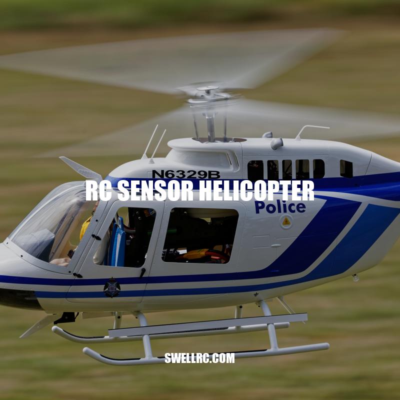
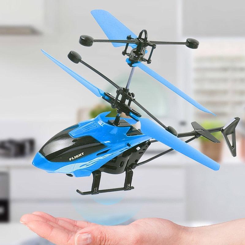
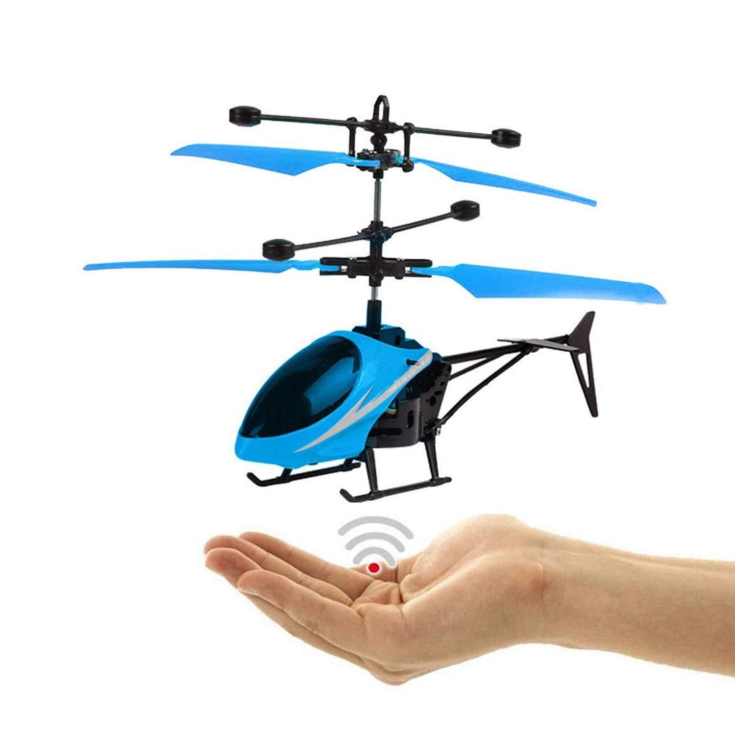
An RC sensor helicopter is a remote-controlled helicopter equipped with various sensors, such as cameras, thermal sensors, LiDAR, and GPS. The sensors installed on the helicopter allow it to monitor and capture high-quality data, making it a useful tool for various industries. The RC sensor helicopter is designed to be lightweight and maneuverable, with the ability to fly at high altitudes and cover large areas with ease. This makes it suitable for applications such as agriculture, search and rescue, environmental monitoring, and military operations. In this article, we will discuss the different aspects of the RC sensor helicopter and its various applications, advantages, challenges, and potential future developments.
Optimized Agility and Sensory Abilities.
- Design and Features
- The RC sensor helicopter is built with lightweight materials to maximize agility and maneuverability during flight.
- The size and weight of the helicopter are optimized for maximum lift with minimal power consumption.
- Various sensors are installed on the helicopter including:
- Thermal sensors – detect heat signatures and help identify objects not visible to the human eye.
- LiDAR – A remote sensing technology that uses laser pulses to measure distance and gain highly accurate data about the surface below.
- Cameras – High-quality cameras mounted on the helicopter can capture images and video with high resolution and zoom capabilities.
- GPS – Provides precise navigation data, allowing the helicopter to fly autonomously or controlled remotely.
The RC sensor helicopter’s design makes it ideal for high altitude flights and covering large areas, enabling a wide range of use-cases in various industries that take advantage of its sensors and capabilities.
What industries can benefit from using an RC sensor helicopter for high altitude flights and covering large areas?
Industries such as aerial photography and surveying, agriculture, oil and gas exploration, power line inspection, and search and rescue can benefit from using an RC sensor helicopter for high altitude flights and covering large areas.
Versatile Applications
- Applications
- The RC sensor helicopter technology is utilized in various industries, some of which include:
- The use of the RC sensor helicopter in agriculture has significantly revolutionized traditional farming techniques. It allows farmers to make data-driven decisions via advanced mapping, crop surveys, and spraying techniques.
- The technology’s implementation in the construction industry has led to safer working environments and cost-effective inspections. The RC sensor helicopter can map out entire buildings and identify areas of damage, which is not visible to the naked eye.
| Industry | Applications |
|---|---|
| Agriculture | Crop mapping, monitoring, spraying, and yield estimation. |
| Architecture and Construction | Building surveys, inspections, and 3D mapping. |
| Environmental Monitoring | Deforestation, land use change, pollution and climate change monitoring. |
| Military and Defense | Surveillance, reconnaissance, and intelligence gathering. |
| Search and Rescue | Locating missing persons and providing real-time updates to rescue teams. |
What are some applications of RC sensor helicopters in the agriculture industry?
RC sensor helicopters are used in the agriculture industry for various applications such as crop monitoring, mapping, and spraying. With the help of advanced sensor technology, these helicopters can collect data on crop health and growth, detect pests and diseases, and analyze soil conditions to improve crop yield and quality. They can also be used for precision spraying of pesticides and fertilizers, reducing the amount of chemicals and labor required for crop management.
Advantages
- Advantages
- The RC sensor helicopter has numerous advantages over traditional methods, including:
- Cost-effective: The use of the RC sensor helicopter is more cost-effective compared to traditional methods of surveillance, mapping, and crop spraying techniques.
- Increased Accuracy: Its sensors can provide highly accurate data and images, giving a detailed analysis of the area being surveyed.
- Improved Safety: The use of the RC sensor helicopter can increase safety by reducing the risk of human involvement in hazardous situations such as forest fire monitoring, and search and rescue missions.
- Quick Data Collection: The system can cover more ground and collect data quickly. This ability saves time in analyzing and processing data.
- Efficient Resource Management: It helps in efficient resource management, particularly in agriculture, as the RC sensor helicopter can use targeted crop spraying methods, only spraying in areas that require it resulting in the minimal use of resources.
- Increased Accessibility: The RC sensor helicopter can access areas that are inaccessible or difficult to reach for humans, providing real-time information for accurate decision making.
- Several companies, including DJI and Parrot, are producing RC sensor helicopter technology and flying platforms for various applications.
What companies are producing RC sensor helicopter technology?
There are various companies producing RC sensor helicopter technology, including DJI, Parrot, and Autel Robotics.
Challenges and Limitations
- Challenges and Limitations
- Despite its numerous advantages, the RC sensor helicopter has some limitations and challenges, including:
- Limited flight time and range: The drone can only fly for a limited amount of time and at a limited distance. The limitation is due to its battery capacity.
- Weather Conditions: Unfavorable weather conditions can affect the drone’s performance and ability of the sensors to accurately collect data. Rain, wind, or snow can disrupt the visibility of the sensors and impact the control of the drone.
- Size and Weight: Its limited size and weight can limit its capabilities, particularly regarding payload capacity, range, and endurance.
- Operator Expertise: It requires skillful operators to handle the technology to collect accurate data. Improper handling, landing, and communication interference can lead to inaccurate data and malfunction of the drone and sensors.
- Several companies have developed training and certification programs to address the issue of operator expertise, minimize errors, and increase safety.
What are some training and certification programs for operating RC sensor helicopters?
There are various training and certification programs available for operating RC sensor helicopters, such as the Remote Pilot Certification and Unmanned Aircraft Systems Training offered by the Federal Aviation Administration (FAA) and the Unmanned Vehicle University’s Professional Multirotor Pilot Certificate Program. Additionally, many RC sensor helicopter manufacturers offer training courses and certifications.
Increased Automation.
- Future Developments
- Given the increasing significance of the RC sensor helicopter technology in various fields, there is an urgent need for continued development and innovation to further maximize its potential. Some potential future developments include:
- Advanced Sensors and Data Processing: As technology advances, sensors are getting better, smaller, and cheaper. Researchers are working on developing more advanced sensors that can enhance the drone’s ability to collect data. Improved data processing systems will better analyze the data, allowing for more efficient and accurate interpretations.
- Increased Automation and Swarm Technology: There is potential for the development of more automated technologies, where the drone can perform tasks without human intervention. Additionally, researchers are exploring the use of swarms of drones that can work together to cover larger areas in less time.
- Battery Technology: The development of improved battery technology can increase flight time and range, enabling the drones to cover more ground without the need for frequent recharging or battery swaps.
- Several companies and organizations, such as DJI, Sensefly, and Skydio, are actively researching and promoting the growth of RC sensor helicopter technology. They are heavily investing in research and development to improve their sensor and drone system capabilities to enhance the performance of the technology.
What are some potential future developments in RC sensor helicopter technology?
Potential future developments in RC sensor helicopter technology may include improved sensors for better mapping and surveying, enhanced autonomous flight capabilities through advanced algorithms and artificial intelligence, increased battery life and durability for longer flight times and harsher conditions, and integration of virtual reality and Augmented Reality technologies for realistic pilot training and immersive missions.
Conclusion
In conclusion, the RC sensor helicopter is an innovative technology that has revolutionized various industries and fields. Its ability to collect detailed and accurate data in real-time has made it a crucial tool in agriculture, search and rescue, environmental surveys, and military operations. Its cost-effectiveness, improved efficiency, and enhanced safety make it an attractive alternative to traditional methods. Despite several challenges and limitations such as flight time, weather conditions, and size, the technology is continuing to see innovation and development. With advanced sensor technology, improved battery life, and automation, the potential of the RC sensor helicopter is limitless. Companies and organizations are heavily investing in research and development to improve the drone system capabilities to enhance the performance of the technology. As the technology continues to improve, the RC sensor helicopter is set to play an even greater role in different industries, further enhance productivity and efficiency while protecting human lives, making it a promising technological advancement in today’s world.
